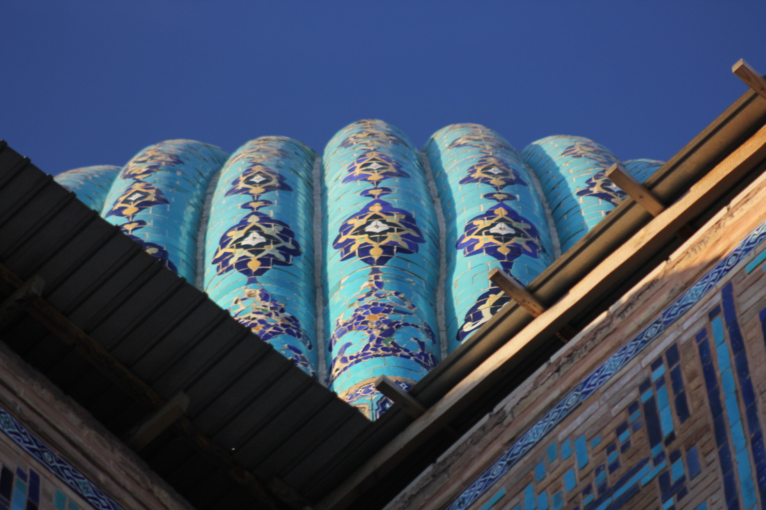
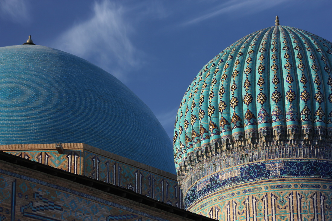
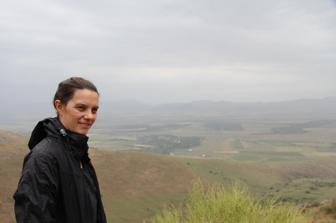
If Western Kazakhstan made us feel like “We’ve come on holiday by mistake”, and Uzbekistan made us feel like package tourists, then Tajikistan made us feel like pioneering adventurers – exploring the beautifully remote and dangerous corners of foreign mountain lands. Tajikistan really was a highlight of the whole trip and now, even just two months later (as I write this from the luxury Russian lakeside spa that Cheryl bullied me into staying at, forcing me to drink beer and have a laugh), I am already misty eyed and nostalgic for that most incredible mountain country.
We’re gonna have to be careful writing this though, not to let our new found Sir Ranulph Fiennes credentials go to our heads. We had early warning of how this can manifest itself when we met a young lad in Tajikistan who was bravely backpacking through Central Asia alone, and then on to Iran (which he was in the habit of name dropping at every single (inopportune) opportunity).
With hindsight I wish I hadn’t remarked that his inspiring journey really was a brave and amazing one, as I guess quite a few people had made this remark, and, still in his late teens he had not yet added humility to his arsenal, and was starting to believe his own self aggrandising (not unlike myself at that age).
He was travelling in the opposite direction and hubristically commented on his hitch-hike along the Wakhan corridor that:
“They said it cannot be done…but I did it”.
I took “they” to mean the Royal Geographical Society, or maybe the ghosts of Scott and Amundsen, but I guess it was more likely his Mum and Dad as we later met quite a few people doing just exactly that.
Whilst staying in Dushanbe we met cyclists who had completed the Pamir highway, and were useful mines of information on route choices and conditions.
We understood from them that there are two main Eastbound routes from Dushanbe (splitting at Vahdat) but rejoining at Kailaikhum:
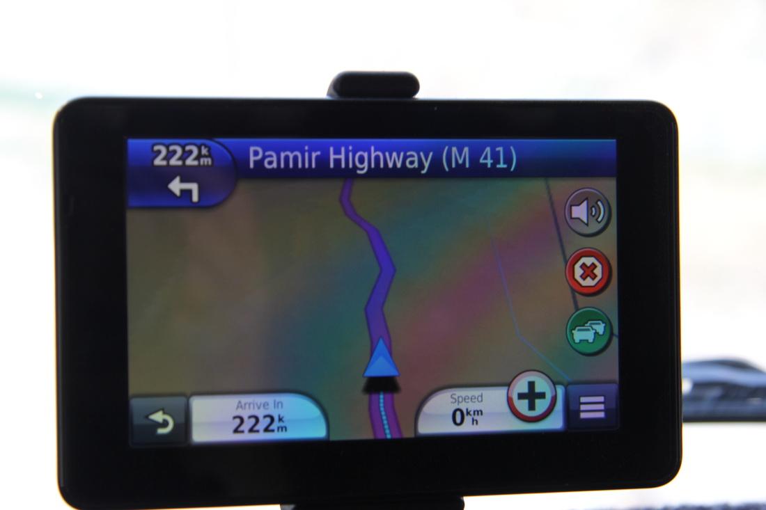
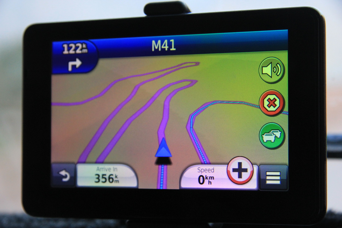
North via Obigarm using the M41,
or South via Kulob using the A385.
I allow myself a retrospective wry smile using terms like M Road and A Road.
I think M stands for “Maybe one day” and A is for “Aspirational”
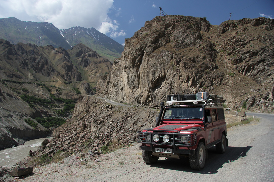
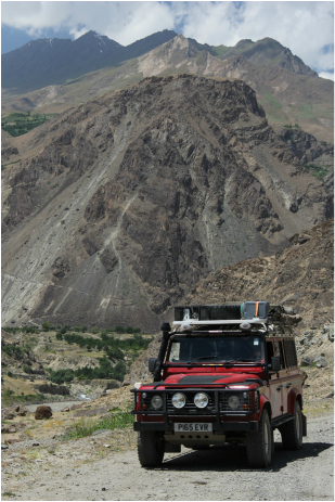
One chap had cycled both routes, said both were good and worth doing but he thought that (if you only do one) the Southern route was a better track (I’m sure he said the Southern had less steep inclines, but as we did not take the Northern route I can’t compare and I’d hate to misquote). But a glance at the map showed that the Southern route joined, and then stuck like glue, to the Afghan border and we’d also heard that this area was stunning – so, decision made!
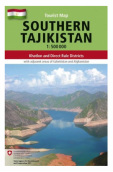
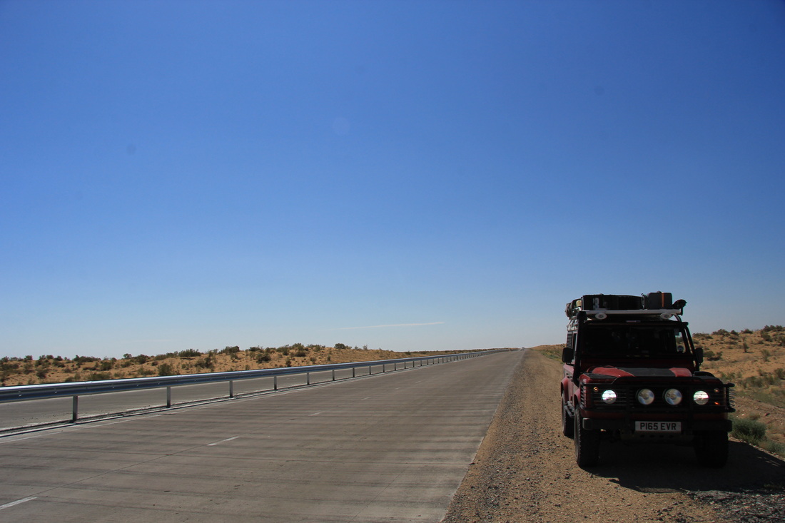
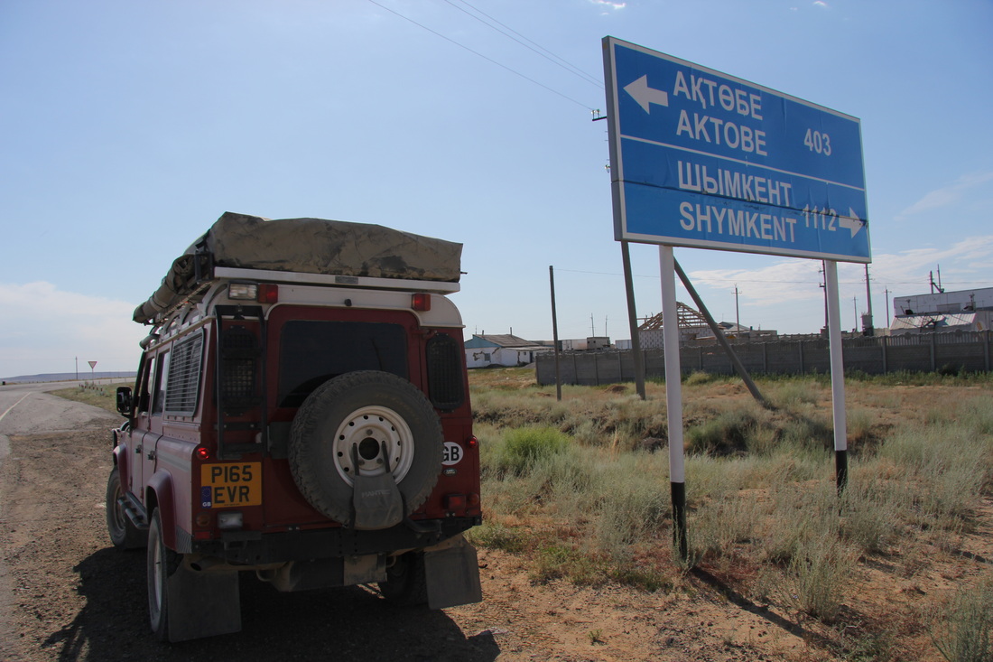
Tajikistan was also a country for which we had been able to purchase expensive but exquisitely detailed maps from the Amazon (or Stanfords) in the UK. Three cover the entire country. To be honest they were too good for a road journey such as ours, but had Garmin crapped out I would have been more than happy to continue using these excellent maps (and I can’t say that about any other country on this trip).
We understood from them that there are two main Eastbound routes from Dushanbe (splitting at Vahdat) but rejoining at Kailaikhum:
North via Obigarm using the M41,
or South via Kulob using the A385.
I allow myself a retrospective wry smile using terms like M Road and A Road.
I think M stands for “Maybe one day” and A is for “Aspirational”
One chap had cycled both routes, said both were good and worth doing but he thought that (if you only do one) the Southern route was a better track (I’m sure he said the Southern had less steep inclines, but as we did not take the Northern route I can’t compare and I’d hate to misquote). But a glance at the map showed that the Southern route joined, and then stuck like glue, to the Afghan border and we’d also heard that this area was stunning – so, decision made!
Tajikistan was also a country for which we had been able to purchase expensive but exquisitely detailed maps from the Amazon (or Stanfords) in the UK. Three cover the entire country. To be honest they were too good for a road journey such as ours, but had Garmin crapped out I would have been more than happy to continue using these excellent maps (and I can’t say that about any other country on this trip).
One of the three...
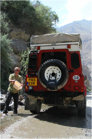
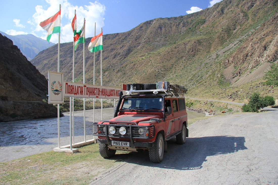
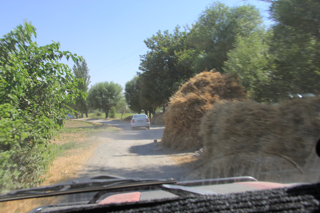
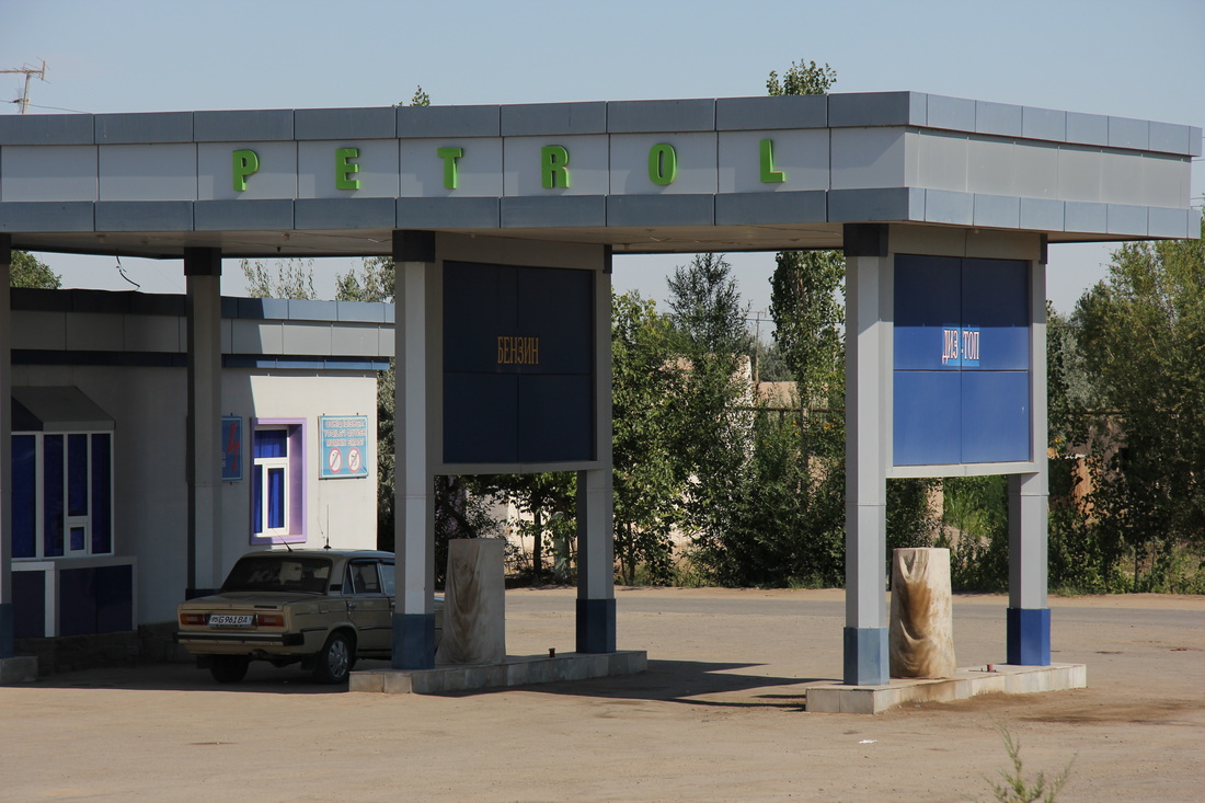
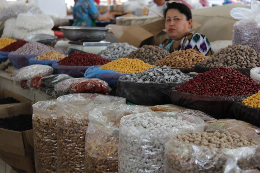
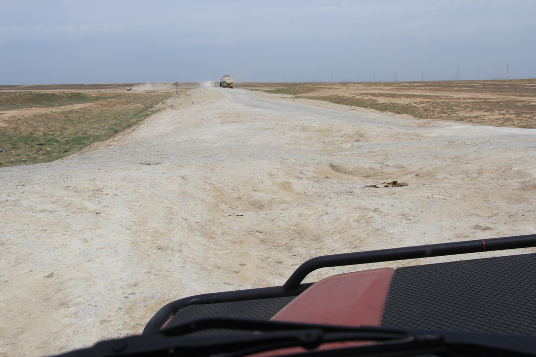
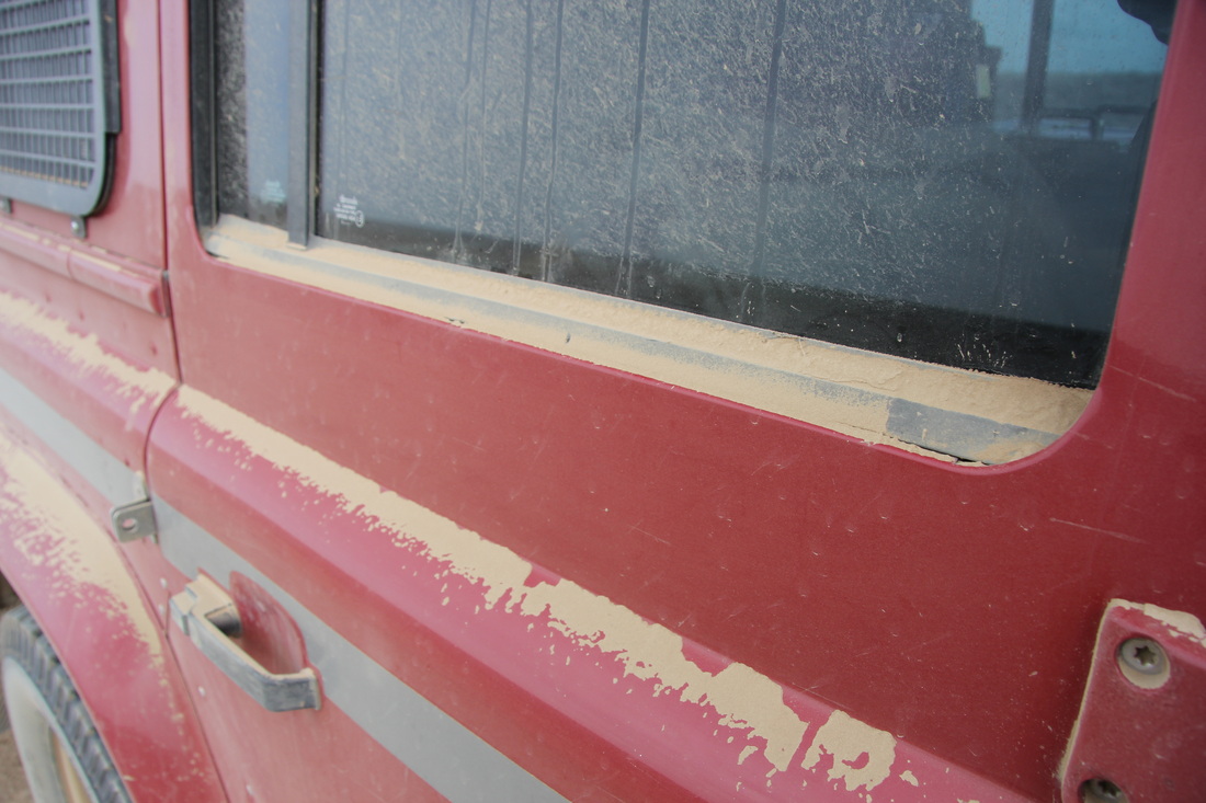
I had run down the fuel tanks as much as possible on the ride from Uzbekistan to rid them of their poor quality “Happy Shopper” diesel, so we kept our eyes open for the trusted Gazprom brand and refilled the tanks, bunging in a bottle of Redex diesel cleaner for good measure.
The friendly pump attendant asked where we were going, when I told him it was to the Pamirs and the Wakhan corridor he squinted against the sudden cold breeze, and shaking his head sadly, said:
“Brave adventurers, I wish you well, but fear for you and your choice of quest, for surely it cannot be done…and certainly not in a shitty old heap like yours anyway…”
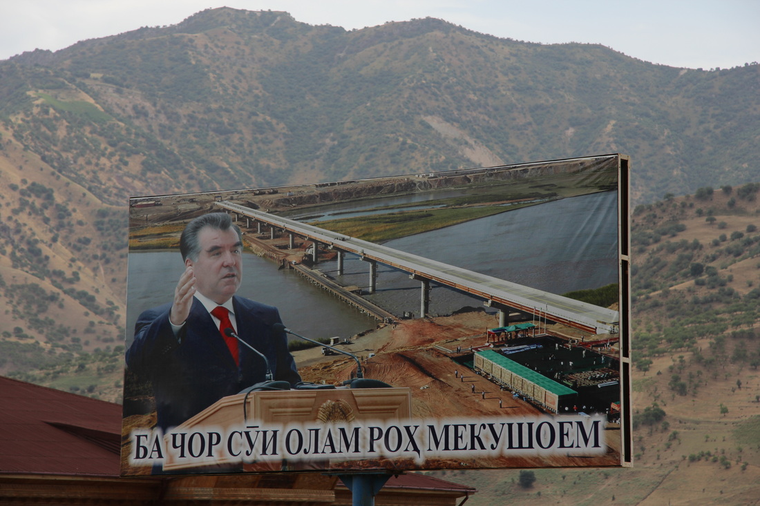
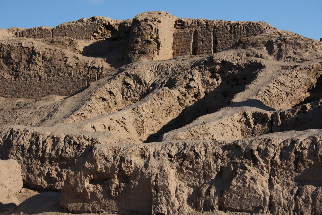
Emomalii Rahmon - the President of Tajikistan - is feared for being over 400 feet tall, and prone to destroying infrastructure in blind rages with his karate skills. Here, in an infamous 2009 incident he destroyed a vital river crossing with one single chop.
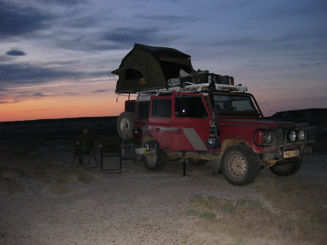
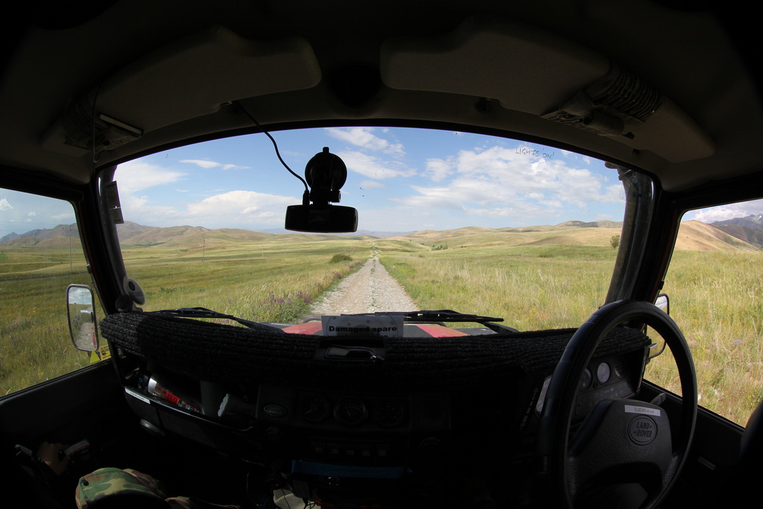
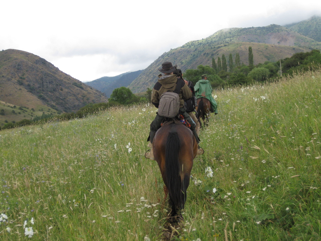
The international biking cohort had also advised us that bush camping along the route would be no problem, but unfortunately they had kept their metaphorical cycling helmets on at this point. Lugging your bike off the track and walking a few yards up or down the steep slopes to your chosen camping spot would be no issue – but with three tonnes of red metal under us it proved a bit more difficult a task for those of us with cars.
The first days driving, from 11:00 to 20:00 yielded just 254km – but not really a problem. We were most definitely not here to blat through, and the combination of track condition and frequent, multiple stops for grocery shopping, photos or just gawking at the incredible views meant that the Pamirs were about to be tackled by us at a speed not more than our cycling friends – a moving average of just 32 kmh that day.
The first days driving, from 11:00 to 20:00 yielded just 254km – but not really a problem. We were most definitely not here to blat through, and the combination of track condition and frequent, multiple stops for grocery shopping, photos or just gawking at the incredible views meant that the Pamirs were about to be tackled by us at a speed not more than our cycling friends – a moving average of just 32 kmh that day.
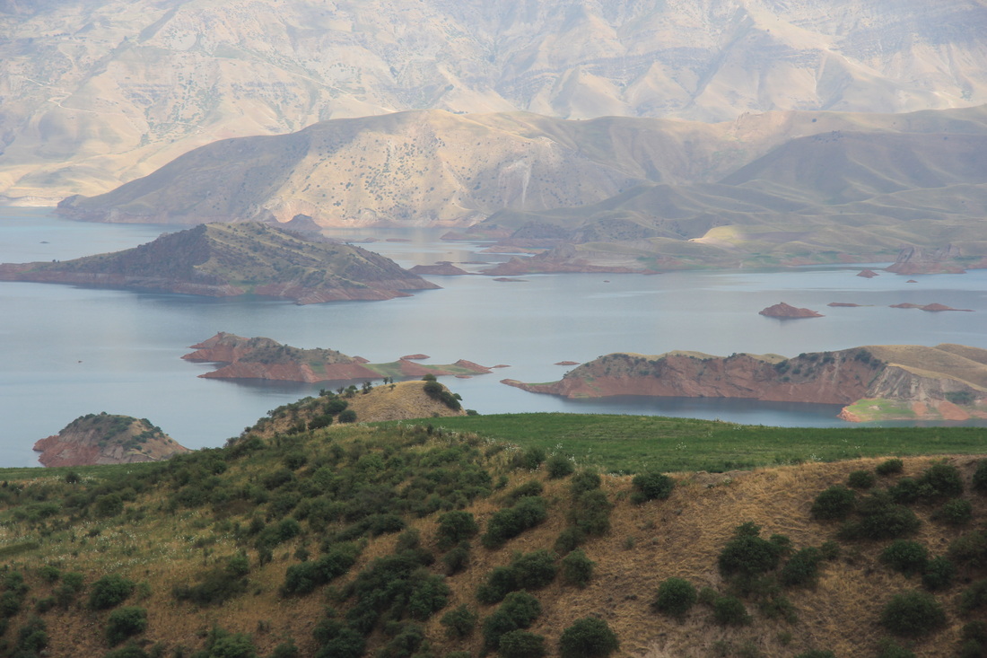
The Blue Lake
We passed the picturesque blue lakes, took the opportunity to stock up on a few veggies in the shops en-route and then looked for a likely camping spot. Thwarted by steep inclines both sides of the road, it took over two hours before we pulled off (getting somewhat desperate) into a road crews layby, from which led a very rough track down the steep mountain, but had a flat spot alongside that seemed made for the dimensions of Solihulls finest, and was well hidden from the nearby road, with some stunning views across the valley into Afghanistan.
Garmin coordinates:
N37.49.059
E070.10.439
It did have some downsides, being directly under the road that curved above and carried thundering trucks late into the evening, and the track was used both that night and early next morning by the dwelling visible in the valley down below (although they left us completely alone).
However, we saw little else suitable. So if you are in the area and it’s getting late this is a possibility?
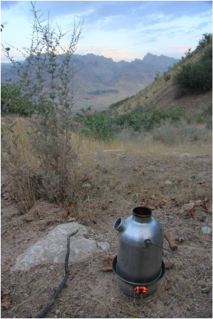
The Kelly Kettle (a sound investment) heats up water for chai - with the mountains of Afghanistan in the background
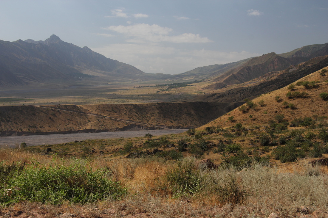
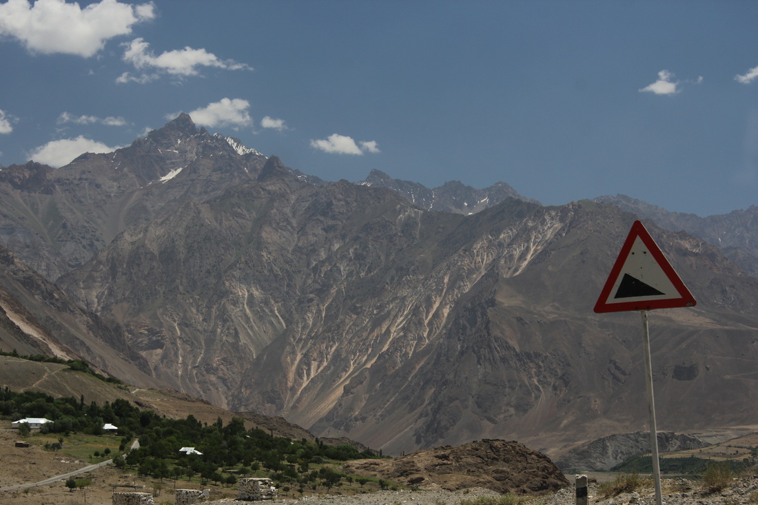
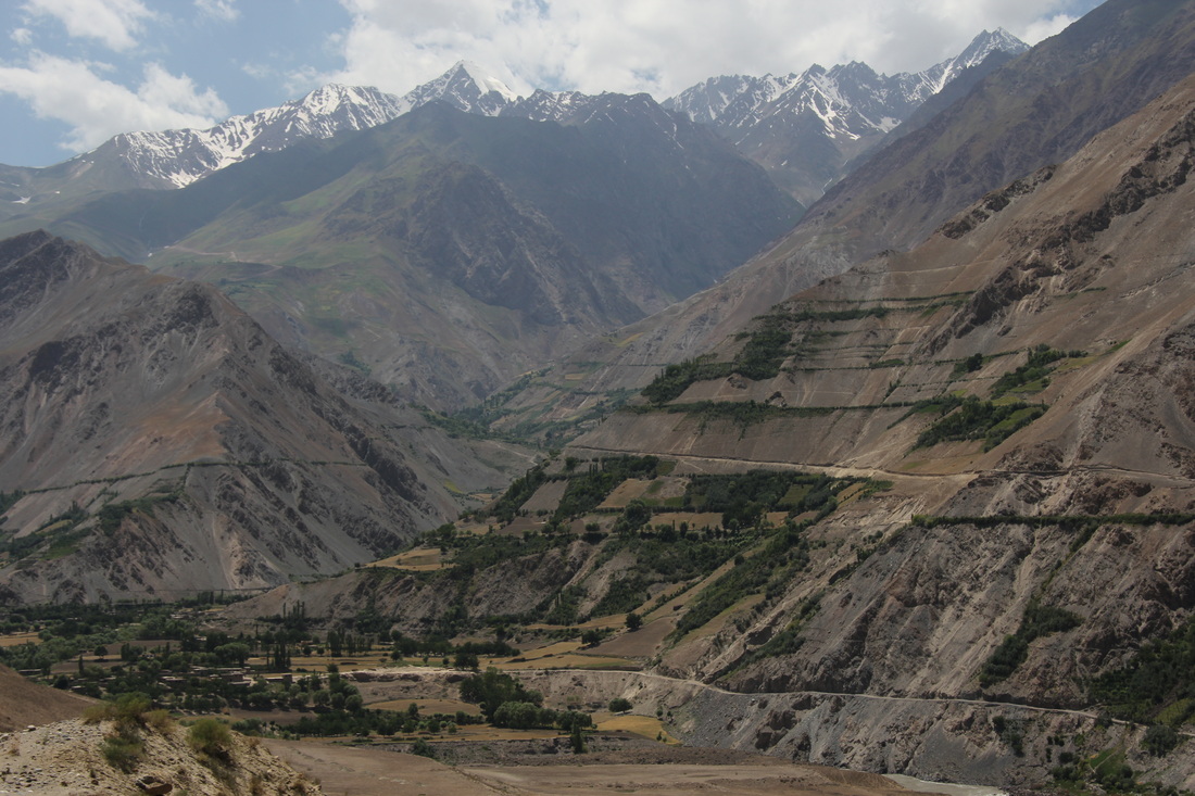
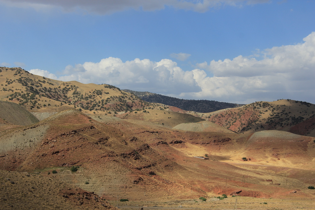
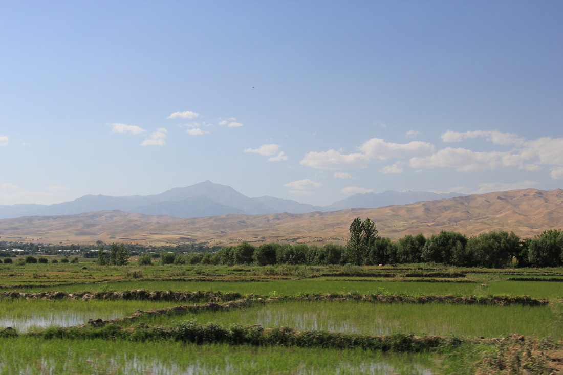
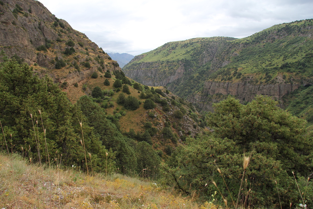
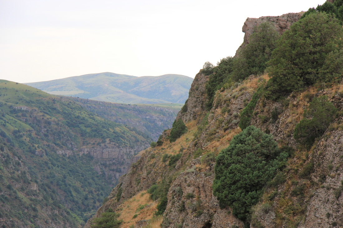
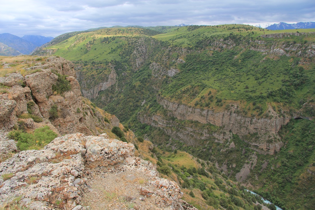
From this point on the geographical and topographical action Eastwards was red hot!
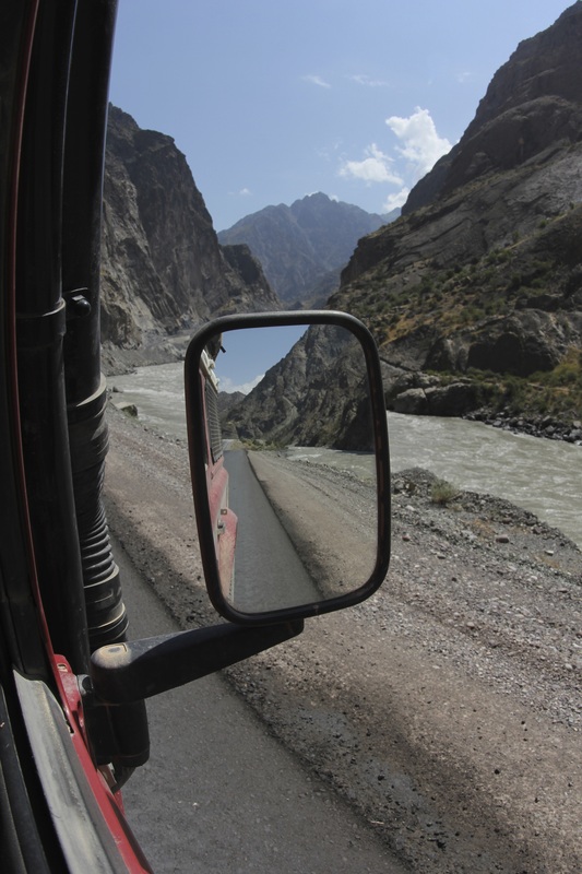
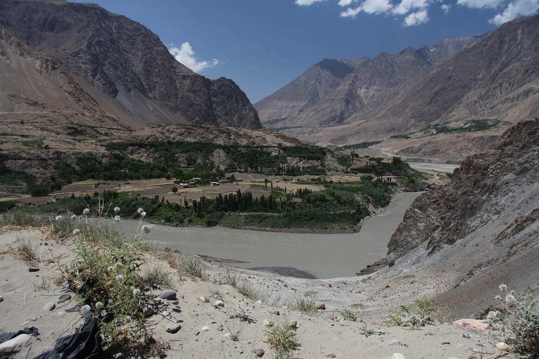
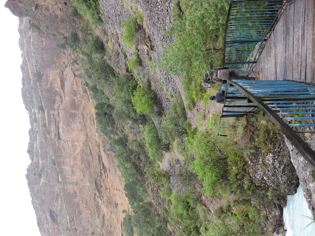
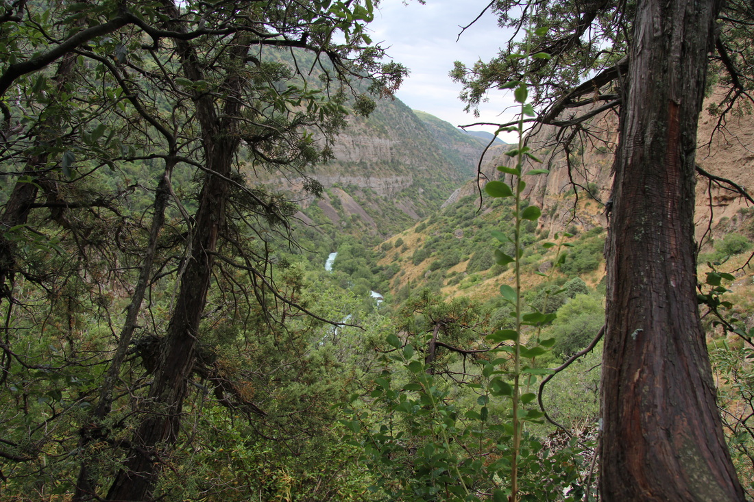
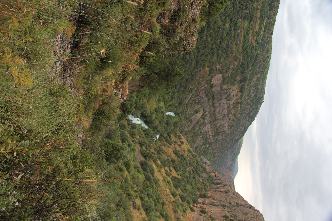
The road wound down to the Amu Darya river (known in classical antiquity as the Oxus). This formed the physical boundary between Tajikistan and Afghanistan, in places only a few tens of metres wide, and our route alongside the bank for the next week or so.
The river itself was a fast flowing and turbulent grey colour, but fed on occasion by clear green/blue melt water tributaries from the mountains above. The valleys were steep sided but opened up on many occasions to offer stunning views of snow-capped ranges (even in mid July).
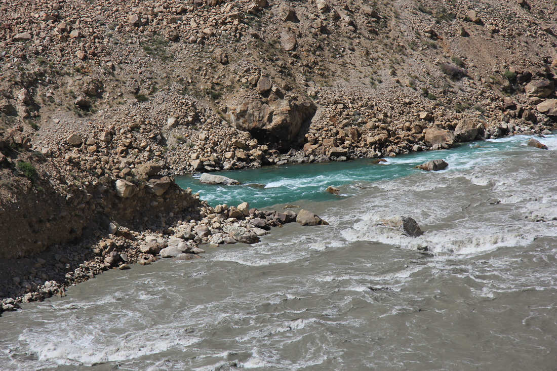
Clear green melt meets the main tributary
This achingly beautiful landscape again scored a low on the odometer – just 155km that day.
That nights bush camp was a surprise success – desperation again saw us choose a spot closer to the road than any other. We chose a flat piece of ground in the bend of the river that was a few metres lower than the road, obscuring the vehicle but not the roof tent from view. We were within stone throwing distance of the Afghan village opposite, and spent a pleasant evening observing their comings and goings whilst they completely ignored us. The call to prayer was also a change for us, being a real human muezzin and not the usual indistinct recording belted out through crackly speakers. This appeared necessitated by no mains electricity, although a few houses had a single low wattage bulb – assumingly solar and/or battery powered.
Bush camp Garmin coords:
N38.27.236
E070.57.616
Just a few 180 degree turns to keep us entertained
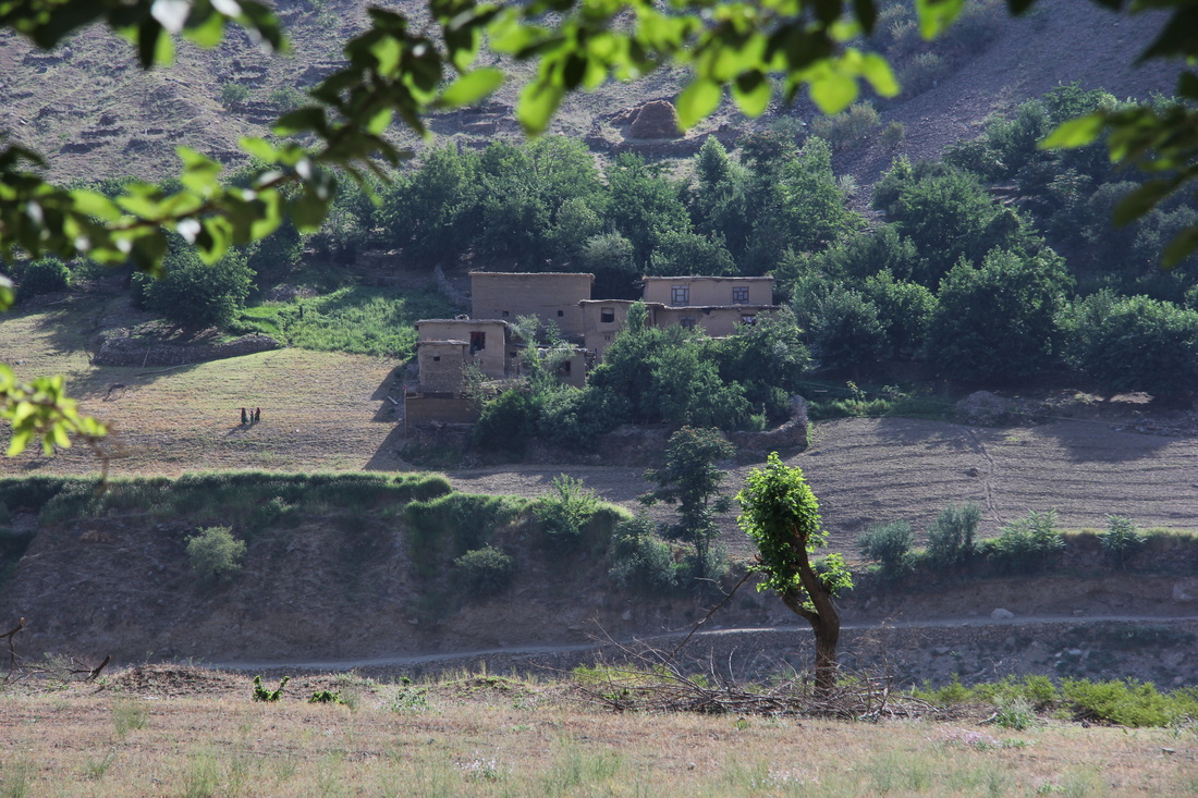
An Afghan farm across the river from our second bush camp - life through a lens - as it has been for thousands of years...
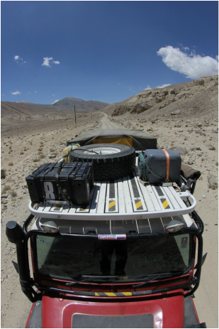
One of our more speculative purchases in the UK had been a roof mount “washing machine”. This is basically a plastic barrel that you fill with dirty laundry, water and your suds of choice, securely lash in place, and then drive along the crappest roads you can find so the corrugations and vibrations effectively power your wash cycle.
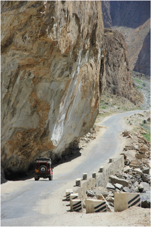
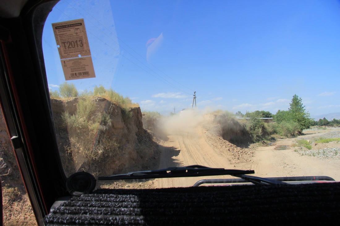
And there is NO shortage of crap roads in Tajikistan.
Repeat the process with clean water, and hey presto, clean laundered clothes?
And there is NO shortage of crap roads in Tajikistan.
Repeat the process with clean water, and hey presto, clean laundered clothes?
Loading the washing machine (this pic a later one in Mongolia)
Washing machine "in action" on the roof...
Barrels CAN be had from eBay for less than a fiver, but often awkward round shapes and with dubious seals. We saw one at a Land Rover show for the utterly extortionate price of £35, but perfect for the job (20 litre capacity, square sided and with bomb proof seals).
Up until now it had been a complete bloody waste of time, as it needs more clean water than the parched environs of Kazakhstan and Uzbekistan can provide.
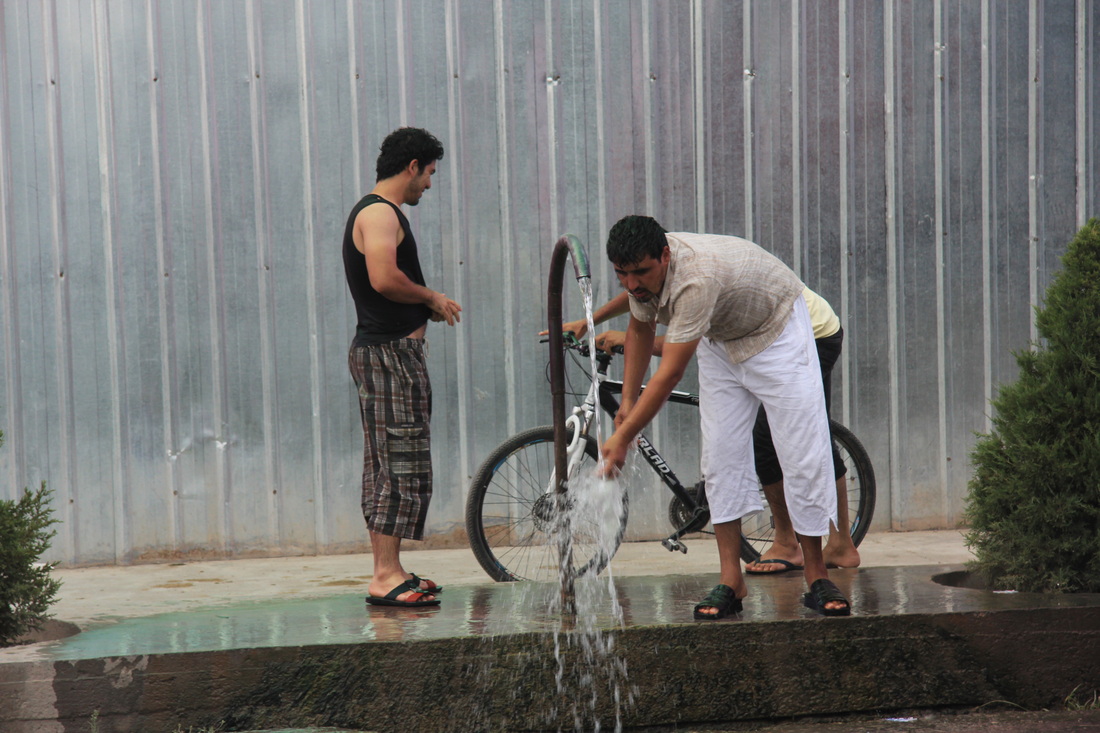
But in Tajikistan it came into its own – with multiple water spouts in the villages and plenty of crystal clear melt water streams alongside the roads. We furiously washed clothes, using extravagant amounts of water, in double wash and triple rinse cycles.
Up until now it had been a complete bloody waste of time, as it needs more clean water than the parched environs of Kazakhstan and Uzbekistan can provide.
But in Tajikistan it came into its own – with multiple water spouts in the villages and plenty of crystal clear melt water streams alongside the roads. We furiously washed clothes, using extravagant amounts of water, in double wash and triple rinse cycles.
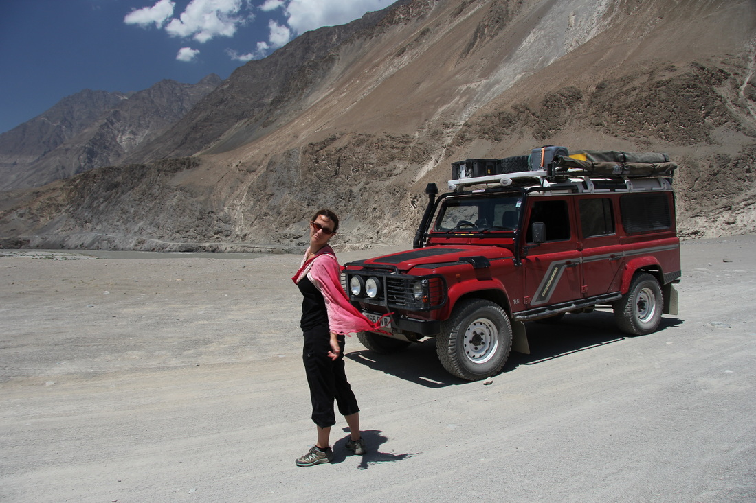
Copious supplies of water were not a problem in Tajikistan...
...both for laundry and washing the Scarlet 4x4
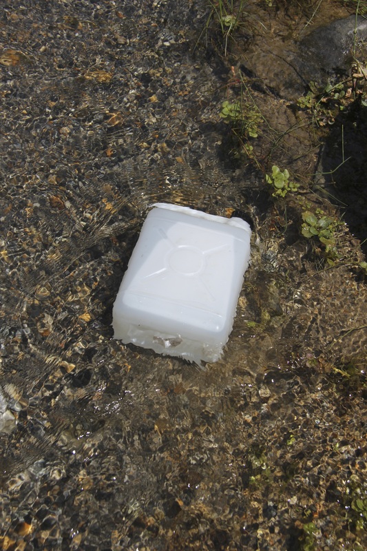
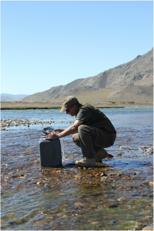
Melt water was also useful for dunking our drinking water container into - desperately needed (and now cold) filtered water!
We figured that barrel saved us…ooohh…must be at least £4.50 when compared to the price of having a local do it for you in a homestay. The only other place it was useful was Mongolia – where it saved a similar amount.
On that basis the payback period is 16 months of solid over-landing, or about 120,000 km.
Fools and their money…
(Although I notice that customs never check items on the roof – so I plan to fill it with 20 litres of Russian vodka and fit an intravenous drip for back home).
On that basis the payback period is 16 months of solid over-landing, or about 120,000 km.
Fools and their money…
(Although I notice that customs never check items on the roof – so I plan to fill it with 20 litres of Russian vodka and fit an intravenous drip for back home).
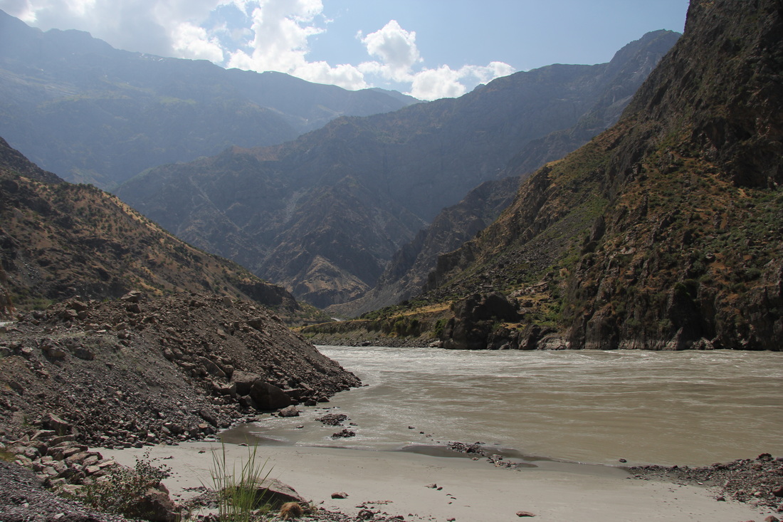
The thin grey line - the Amu Darya river border between Tajikistan and Afghanistan
Our final bush camp before Khorog was another prominent bend in the river, populated by an infrared communications tower. Fully expecting it to be guarded by the multitude of border patrolling Tajik soldiers we saw every day we walked up to “enquire if one might be able to pitch ones abode herewith”.
No one was there so I shouted that question and I am SURE I heard “no problem mate” in reply?
We must have been spotted from some remote observation post though, as a patrol turned up within 20 minutes to see what we were up to.
They were all very young (a sign that I am getting old), but a very friendly bunch and radioed up their chain of command who agreed to our staying there for the night.
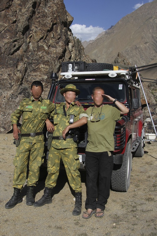
With the Tajik Army on the Afghan border - identities obscured for Operational Security
My previous security self-assurances were to be tested that night though…
I have always been a light sleeper, and awake pretty much instantly at any sound of people or animals around the truck at night.
So I was already wide awake and watching through the side mossie-netted panel with increasing fear as a group of figures (not so) silently approached the truck at around 03:30 in the morning. They fanned out to surround the vehicle, and when I saw AK47s unslung from shoulders and held in the “ready” position I felt a cold stab of dread and suddenly foresaw an immediate future that, at best, involved a trip across the border, and a couple of radiators as our wrist apparel of (their) choice for the next few months.
I can access floodlights and alarms from inside the tent, but really did not want fingers to twitch on triggers in response, and tent canvas is little protection from 7.62mm rounds? I knew my fears could be confirmed or denied if I could make out their headgear, so when I was finally able to make out the beany hats that the Tajik army use (NOT the turbans favoured in Afghanistan) my concern eased significantly.
They banged on the tent ladder, demanding to know what we were doing – a different patrol this time. I bravely let Cheryl answer, figuring a female voice in response would be less threatening to them. There was a repeat of the earlier radio calls, and they appeared to move off, but as I whispered to Cheryl, one had remained not 10 yards away, invisible, but not quite silent.
Thirty minutes later they were back, banging on the ladder with “Hello Missus. Sorry. You have smoke?” We had left our bribe fag packet with a car park attendant in Termis, but would not have opened up the car to get cigarettes out at that unearthly hour anyway.
As dawn broke and I was hurriedly packing away I could see them bobbing up and down behind nearby rocks, doing passable Meerkat impressions. I signaled that I had seen them and asked them if they had slept there that night. Their grumpy response indicated no sleep, and at that point I twigged that they had been given orders to watch over us until we left, I suddenly felt quite paternal towards our nocturnal protectors, but they were already heading off, assured by our actions that we were about to do the same.
Here’s the coordinates anyway– the campsite was great, flat, away from and invisible from the road – but maybe pop these in your Satnav if only to give the area a wide berth, eh?
N37.53.372
E071.19.866
Robert and Clary, our Dutch Aussie chums had a similar incident a few weeks later, but much closer to the army check point we had passed much earlier in the day. They were ordered to move camp to within the army compound. Perhaps the Tajik Army are a bit twitchy about tourists camping so close to the border in this area? Might be worth getting some local advice, or seeing if there is a homestay in the area?
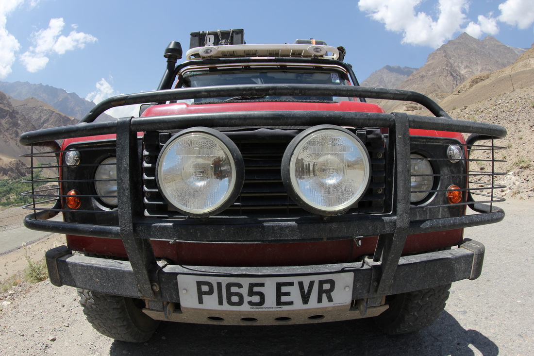
4x4 heaven...
WD40 and gaffer tape - what more do you need?
Our nocturnal disturbances and subsequent lack of sleep ensured an early 07:20 departure, so we were in Khorog and the Pamir Lodge by 10am.
Lonely Planet says the “hot shower” is a luxury.
Well, £19.99 Lonely Planet published Oct 2010, you can go bloody swivel, because by Jul 2013 it had evaporated, to be replaced with a large bucket of cold water (at the time I used it) and a ladle. I may not be a qualified plumber, but that does NOT constitute a shower in my book, luxury or otherwise…
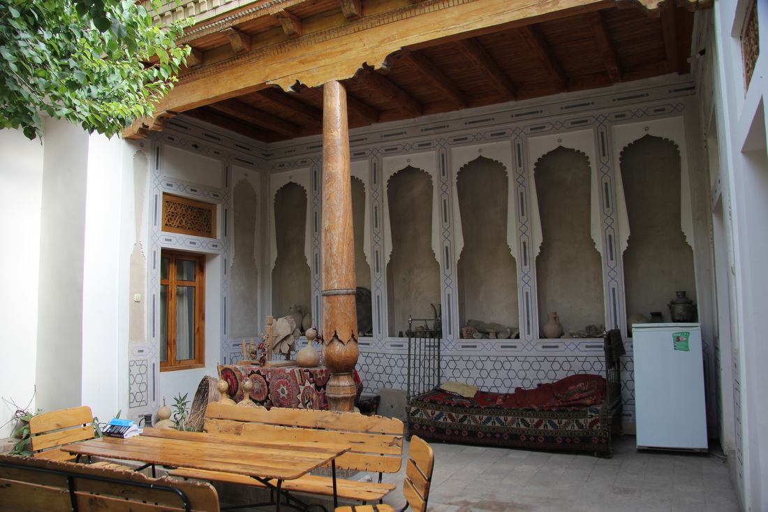
We could have camped, but chose a very basic but perfectly good enough twin room instead, that was good value for money.
Plumbing is a bit medieval in a block out the back, especially when the water turns off (which was frequent during our stay) and things tended to “back up” quite a lot.
I made the toilets out-of-bounds, peeing in the bushes instead (sorry about that Pamir Lodge – but you really DO need to sort your bogs out) and issued an inviolable order to my buttocks to hang fire until the cool, pristine, asceptic porcelain in the Chor Bagh restaurant in town.
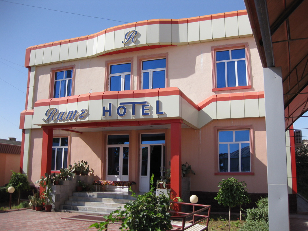
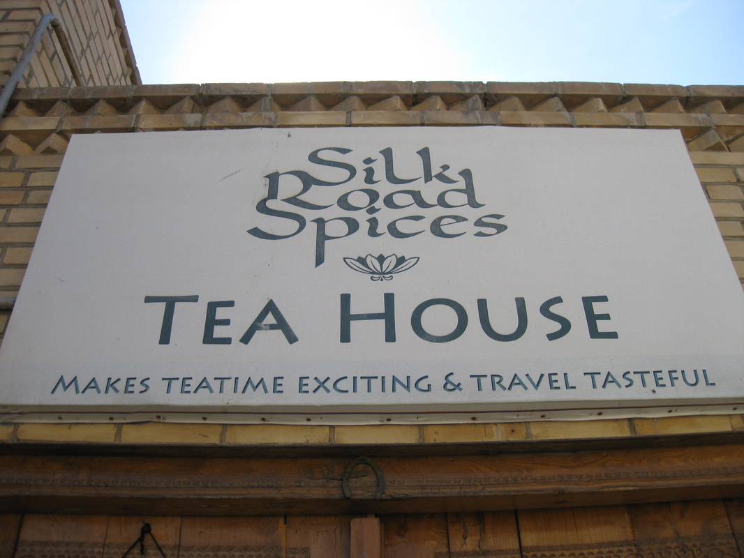
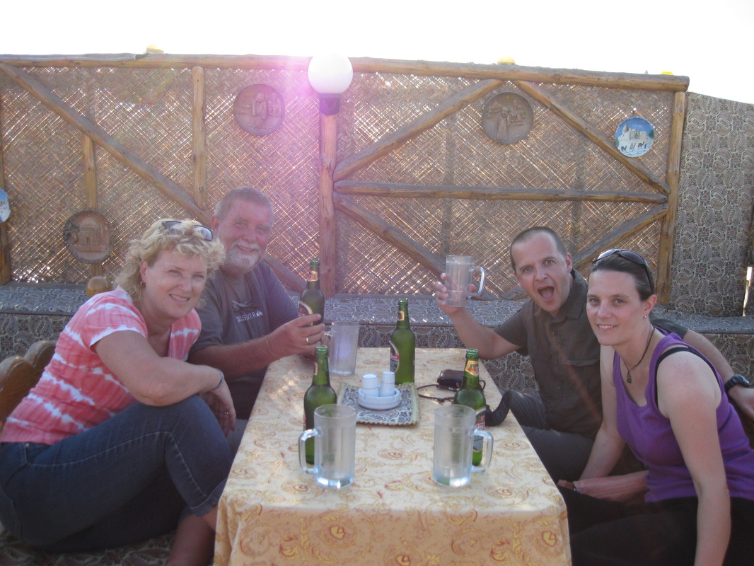
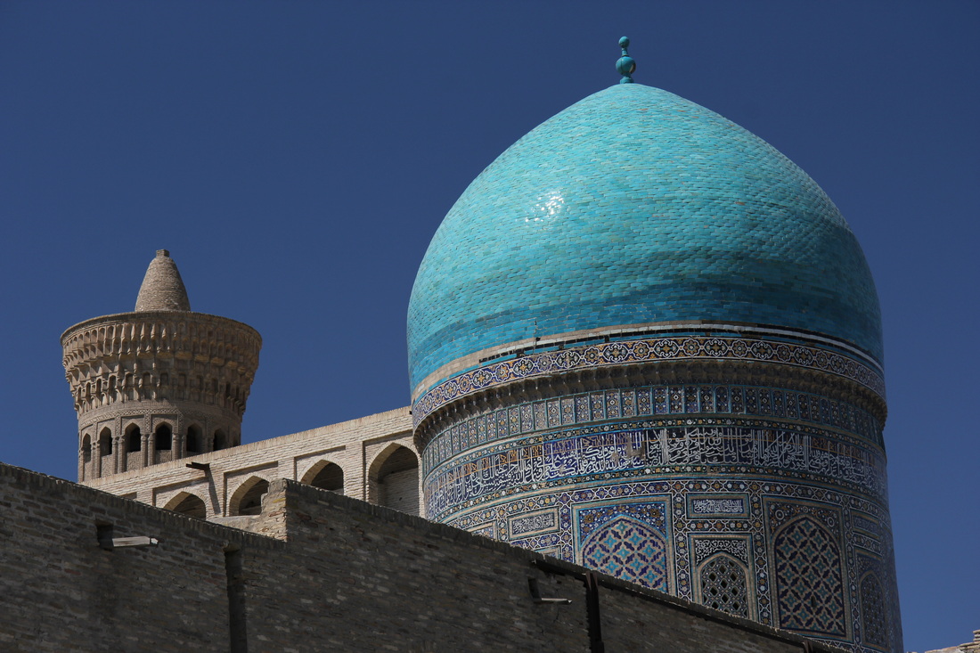
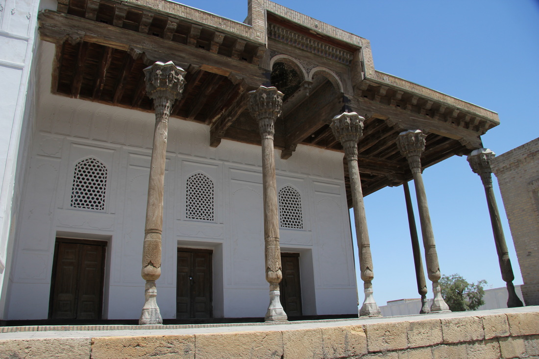
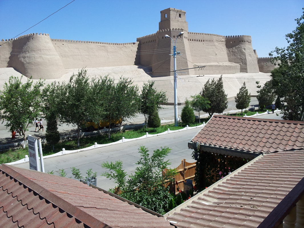
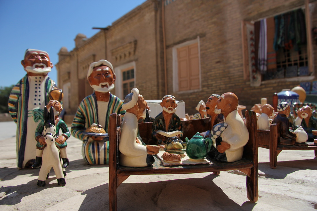
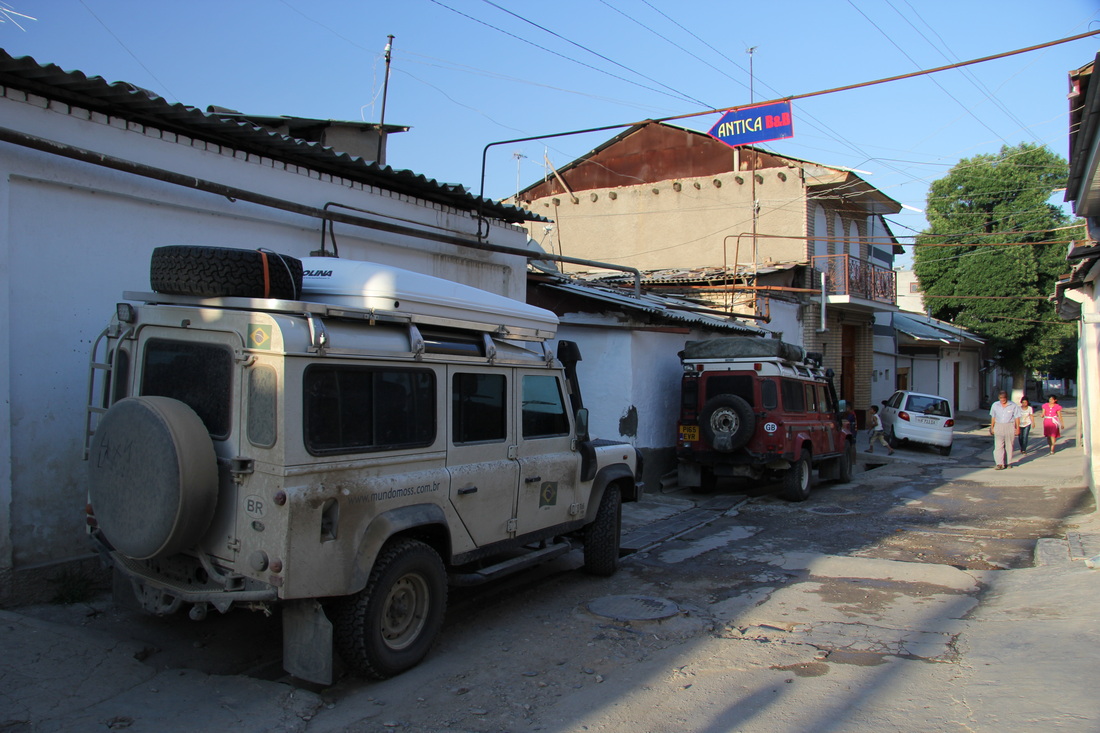
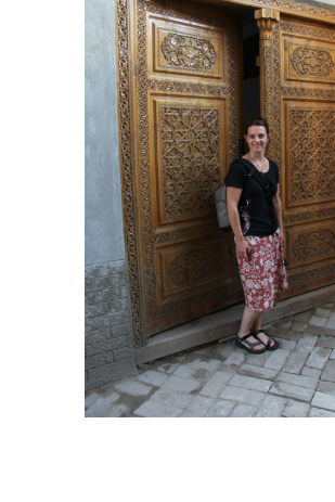
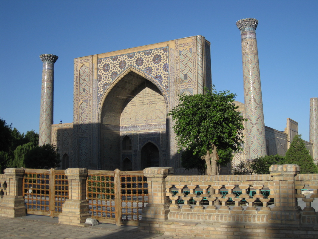
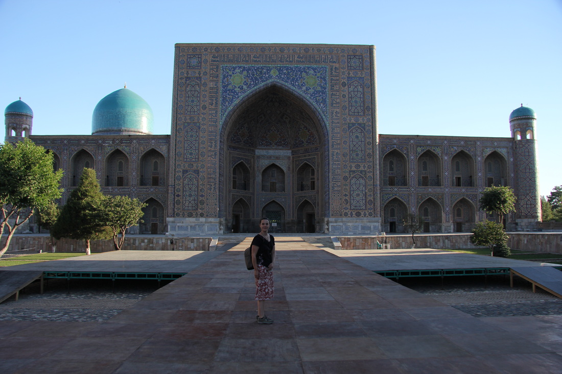
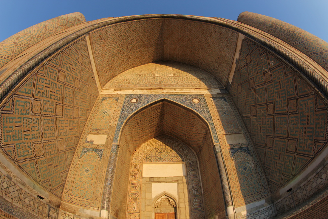
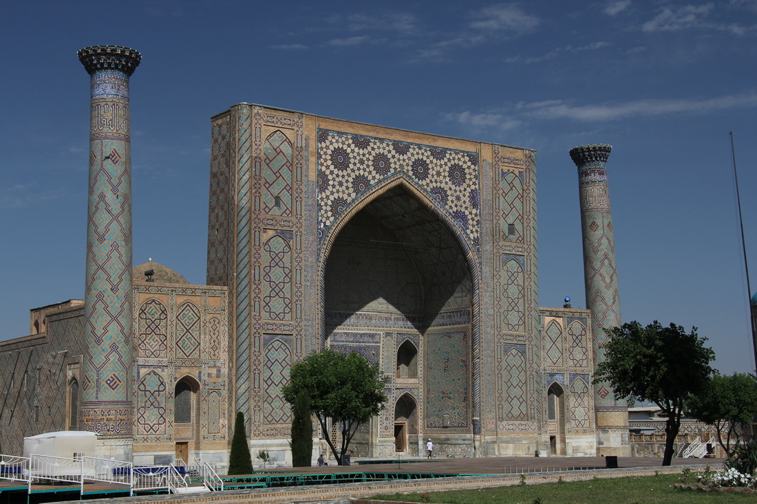
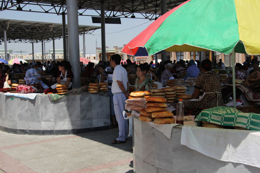
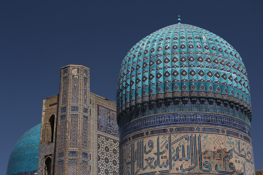
Like Anticas in Samarkhand, or the Adventurers Inn in Dushanbe, Pamir Lodge is frequented by over-landers, so is a great place to meet people on the road and chat.
Pamir Lodge:
N37.29.197
E071.33.734
Note that Garmin using Open Street Map (in the last 500 metres) tried to direct us through a gated property at the top of a steep hill. Turn right, then left, left again, then right to box around it.
Lonely Planet says the “hot shower” is a luxury.
Well, £19.99 Lonely Planet published Oct 2010, you can go bloody swivel, because by Jul 2013 it had evaporated, to be replaced with a large bucket of cold water (at the time I used it) and a ladle. I may not be a qualified plumber, but that does NOT constitute a shower in my book, luxury or otherwise…
We could have camped, but chose a very basic but perfectly good enough twin room instead, that was good value for money.
Plumbing is a bit medieval in a block out the back, especially when the water turns off (which was frequent during our stay) and things tended to “back up” quite a lot.
I made the toilets out-of-bounds, peeing in the bushes instead (sorry about that Pamir Lodge – but you really DO need to sort your bogs out) and issued an inviolable order to my buttocks to hang fire until the cool, pristine, asceptic porcelain in the Chor Bagh restaurant in town.
Like Anticas in Samarkhand, or the Adventurers Inn in Dushanbe, Pamir Lodge is frequented by over-landers, so is a great place to meet people on the road and chat.
Pamir Lodge:
N37.29.197
E071.33.734
Note that Garmin using Open Street Map (in the last 500 metres) tried to direct us through a gated property at the top of a steep hill. Turn right, then left, left again, then right to box around it.
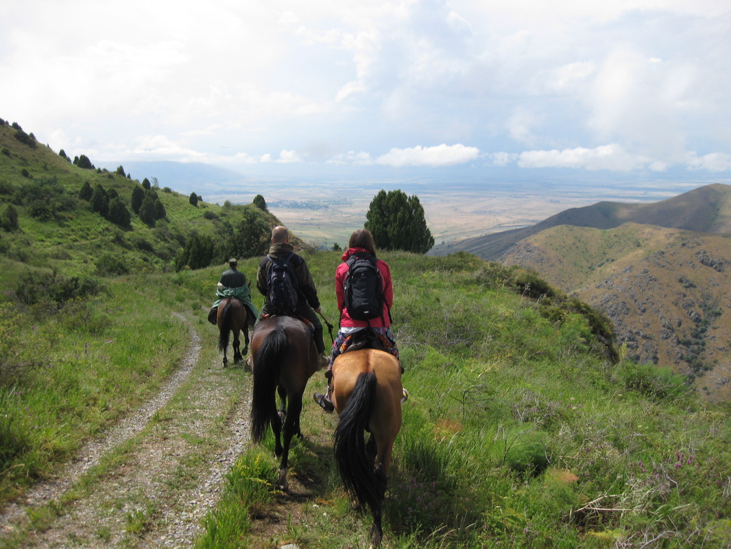
Incredible views on and above the road
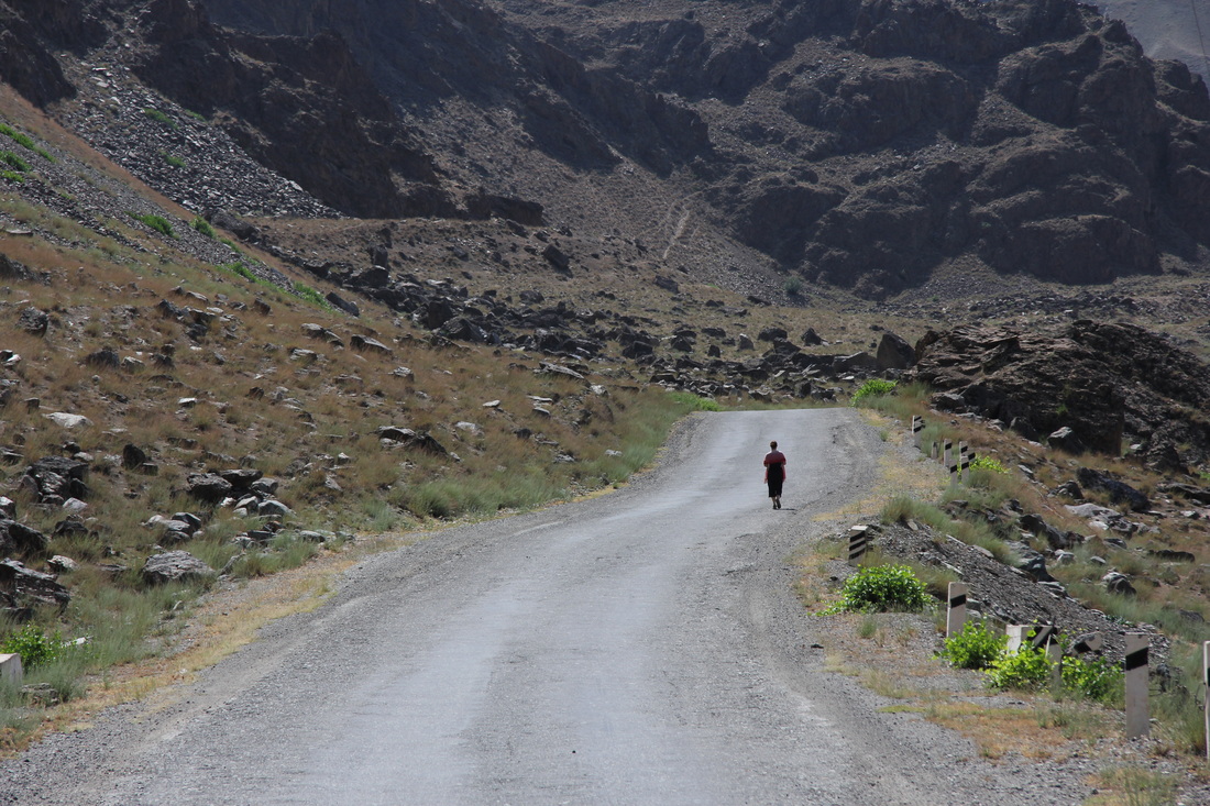
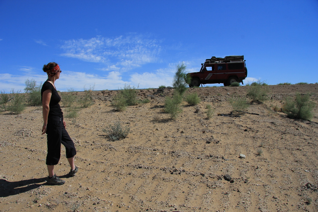
Having criticised my awesome driving once too often - Cheryl is made to get out and walk
Your right a bit love - you're spoiling the view
Now THAT's better...


 RSS Feed